Hurricane Erin was downgraded to a category 3 hurricane early Sunday as its outer bands continued to lash the Virgin Islands and Puerto Rico with heavy rains and tropical-storm force winds.
While Erin’s maximum winds diminished, the storm’s overall size grew and forecasters issued tropical storm warnings for the Turks and Caicos Islands and a watch for the south-east Bahamas.
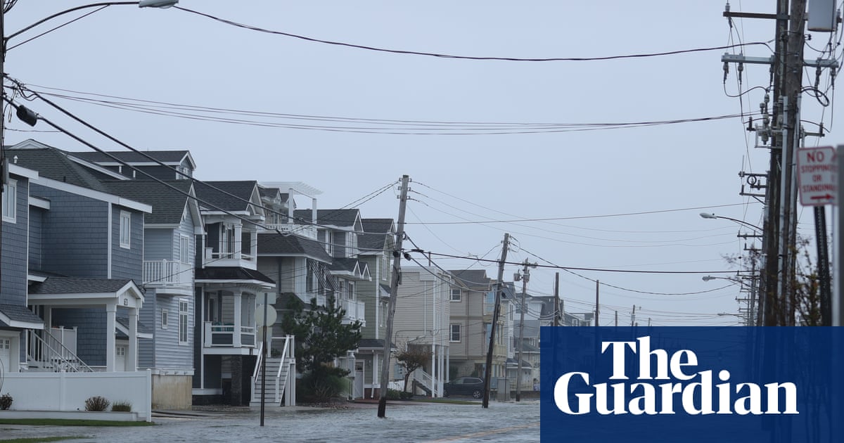
The storm wasn’t expected to directly affect the US east coast. But by doubling or tripling in size, it could bring rip currents all along the south-east coast. Gusty winds and flooding tides could wash out parts of the highway that connects the North Carolina Outer Banks by midweek, the US’s National Weather Service (NWS) said.
Bermuda could have similar conditions as Erin is forecast to turn to the north and then north-east, forecasters said.
Erin, the first Atlantic hurricane of 2025, reached category 5 status before weakening, with maximum sustained winds of 125mph (205kph) late Sunday morning, according to the US National Hurricane Center (NHC) in Miami.
The winds decreased as the storm went through internal changes. Erin is expected to remain powerful for the next several days, forecasters said.
The storm’s center was about 170 miles (270km) north of San Juan, Puerto Rico, and nearly 270 miles (435km) east of the Grand Turk Island, moving west-northwest at 14mph (22kph).
The rain and winds from Erin’s outer bands left more than 147,000 customers without power Sunday morning in Puerto Rico, a US territory, according to Luma Energy, a private company that oversees the transmission and distribution of power on the island. The weather canceled more than 20 flights, officials said.
Swells were also expected to affect portions of the Virgin Islands, Puerto Rico, Hispaniola, and the Turks and Caicos Islands during the next couple of days, the NHC reported.
A tropical storm warning means tropical storm conditions are expected somewhere within the warning area, and in this case, within 24 hours, the NHC said. Heavy rain is still expected across the Virgin Islands and Puerto Rico, with rainfall of 3 to 6inches (about 7.6 to 15cms), with 8inches (20cms) in some isolated areas.
The government of the Bahamas also issued a tropical storm watch for the south-east Bahamas.
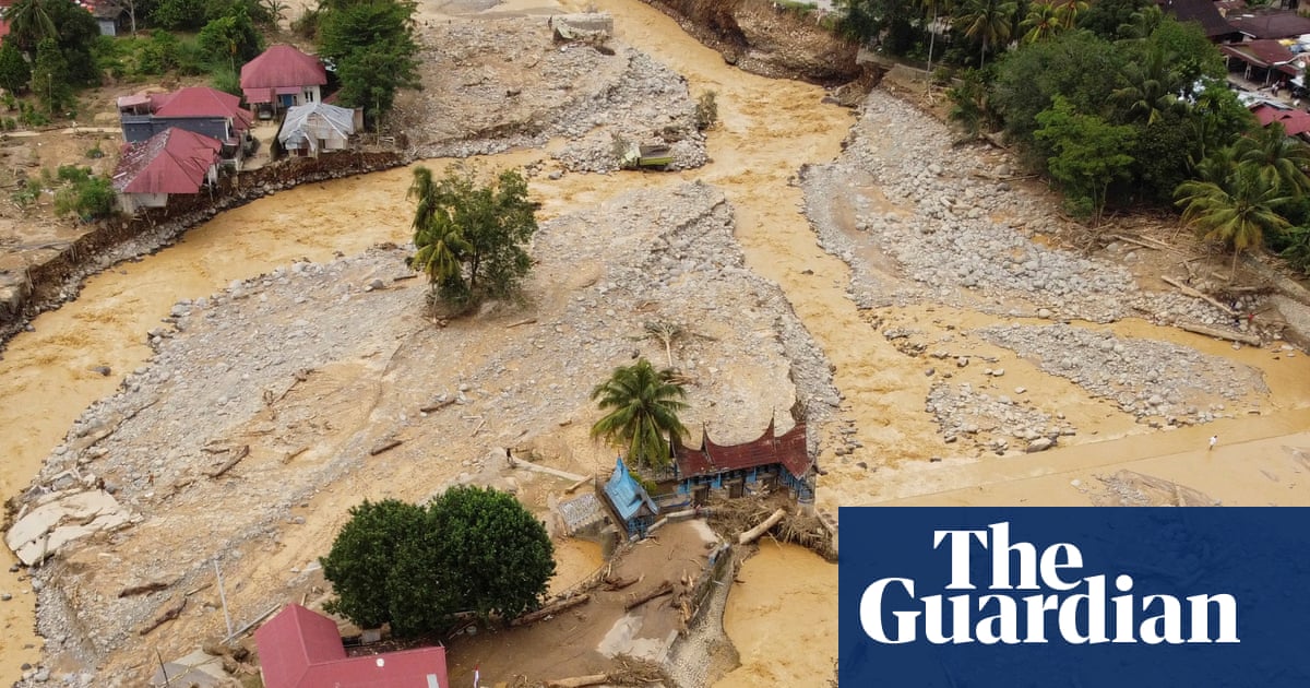
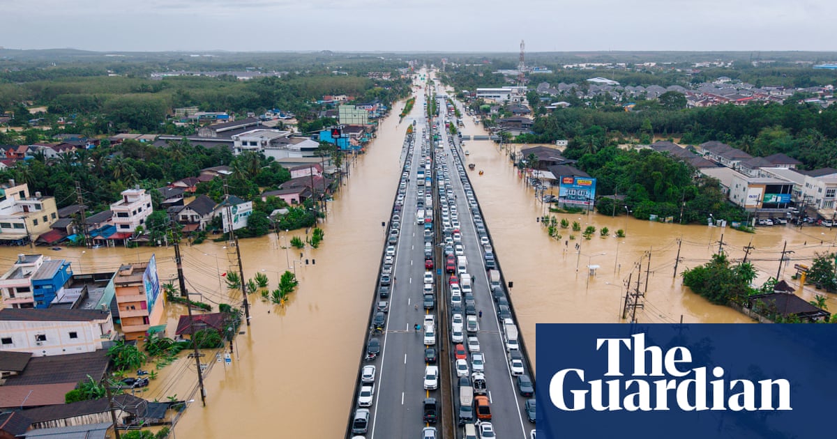
Scientists have linked the rapid intensification of hurricanes in the Atlantic to climate change, which is driven by human-caused greenhouse gas emissions. Global warming is causing the atmosphere to hold more water vapor and is spiking ocean temperatures, and warmer waters give hurricanes fuel to unleash more rain and strengthen more quickly.