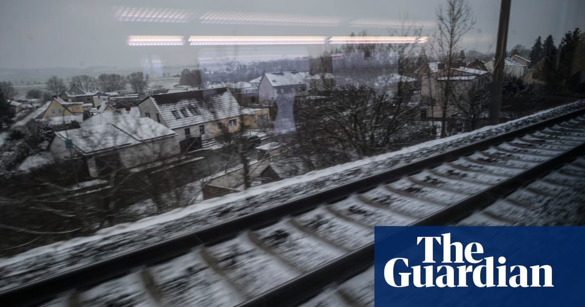
Weather forecasters have warned the UK to be prepared for “disruptive snow” and plummeting temperatures after an Arctic blast brought the coldest night of the season so far.
The Met Office said the early hours of Monday had been the chilliest night, with the lowest temperature, -7.8C, recorded at Tulloch Bridge in the Highlands.
By the morning, many households across Britain had to de-ice their car windscreens for the first time this winter after an unusually mild and dry start to the month.
The Met Office said up to 20cm (8in) of snow could accumulate in the worst-affected areas in the “first taste of winter” this season.
It issued several yellow warnings for the coming days, including rain, sleet and snow from 7pm on Monday to 10am on Tuesday from southern Scotland down to north Wales and the Midlands.
The most likely scenario, forecasters said, was for up to 20cm of snow to accumulate on hills above 300 metres and up to 10cm on hills above 200 metres.
“There is a small chance of snow settling at lower levels, where 5-10cm would prove much more disruptive, but this remains very uncertain,” they added.
In the affected areas, there was a chance of power cuts, disruption to road and public transport and the risk of injury from slipping on ice.
In Northern Ireland, a warning for snow and ice is in place from 3pm on Monday until 10am the next day. It is likely to lead to difficult travel conditions and public transport delays.
In northern Scotland, a yellow warning for snow and ice stretches from 4pm on Monday until 10am on Wednesday.
Tom Morgan, a Met Office meteorologist, said: “We could see some disruptive snow in the Pennine regions – in particular, the Peak District as well, especially Monday night – but we could well see some impacts lasting until Tuesday morning’s rush-hour.
“Even down to lower levels, we could well see some snow as well, so quite a bit of disruption possible by Tuesday morning. And then the week ahead is likely to stay cold nationwide, a windy day on Tuesday, and then winter showers through the week ahead.”
Morgan said after a mild start to the month, the cold conditions would be more typical of mid- to late-winter.
He added: “What we can say is that it’s going to be very cold for the time of year; there will be widespread overnight frosts, and a few locations where there’s snow on the ground.”
Drivers have been advised to allow more time for journeys and to pack essential winter items such as warm clothing, food, water, a blanket, a torch, ice scraper/de-icer, a warning triangle, hi-vis vest and an in-car phone charger.
Separately, the UK Health Security Agency issued yellow cold weather alerts for large parts of England until Thursday.

 3 months ago
69


